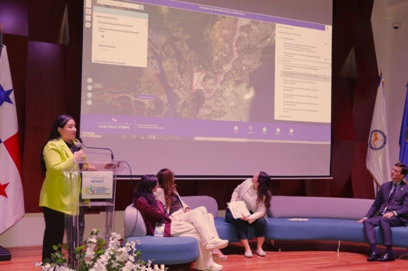
The Ministry of Housing and Territorial Planning of Panama (Miviot) has launched its new Geoportal. This modern, intuitive, and accessible platform concentrates territorial data for citizens, professionals, and authorities. The Geoportal strengthens transparency, territorial planning, and decision-making.
Key features of the new tool include a user-friendly web interface, dynamic visualization of maps and thematic layers, geographical search by zones, districts, or specific topics, and direct access to download public data and interoperable services.
One of its main features is a zoning viewer that allows users to consult the land use categories established in various territorial planning plans, including those dating back decades but which are still in force.
According to Alessandra Treuherz, Director of Territorial Research at Miviot, having multisectoral, georeferenced, and up-to-date information is fundamental for planning safer, more sustainable, and resilient cities and territories.
This new portal is a key step in building the National Territorial Information System (SNIT), which seeks to consolidate geospatial information related to infrastructure, housing, land use planning, soils, water, forests, and biodiversity, risk, and climate change on a single platform.
The implementation of the platform aligns with Panama's public policy on Government Data Transparency, adopted in 2017.