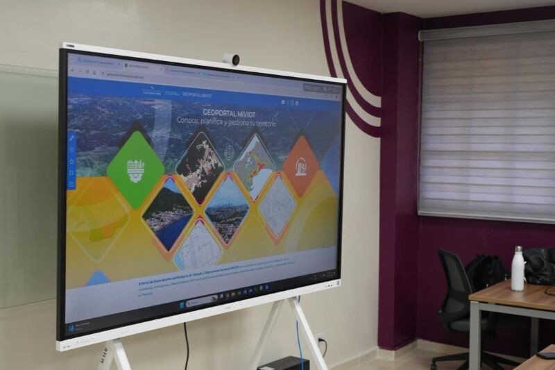
On Monday, the Ministry of Housing and Territorial Planning (Miviot) and the Technological University of Panama (UTP) kicked off the first institutional Mapathon in an unprecedented effort to modernize the management of the nation's territories. The central objective of this two-week technical initiative is the transformation of historical land use planning information from paper plans and physical archives into a digital, georeferenced format within a geographic information system. In this joint effort, UTP provides the physical space, technological equipment, and human talent of its students, while Miviot contributes specialized technical knowledge, cartographic guidance, and the necessary database. According to Dr. Haydée Osorio Ugate, coordinator of the Master's in Climate Change and Environmental Sustainability, this strategic articulation is crucial for addressing the country's current challenges. This initiative directly contributes to ensuring that the nation's urban and rural planning is based on real, georeferenced information, guaranteeing better decision-making for citizen welfare. The university also acts as a bridge to generate 'living' and dynamic information that efficiently feeds governmental systems. By executing this first Mapathon, Miviot not only strengthens its territorial data infrastructure but also boosts the technical competencies of future Panamanian professionals.