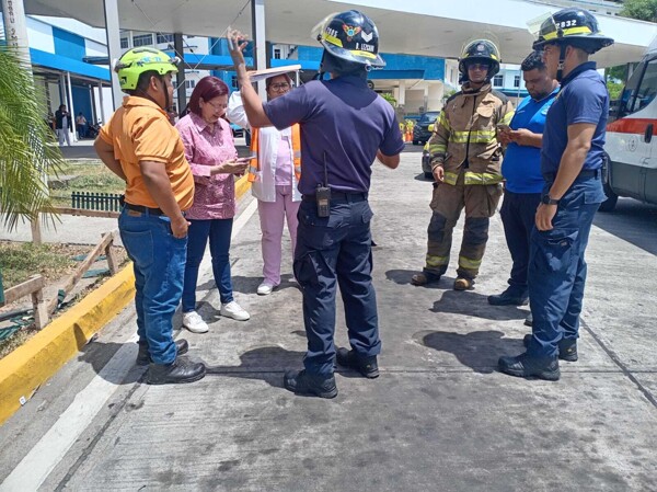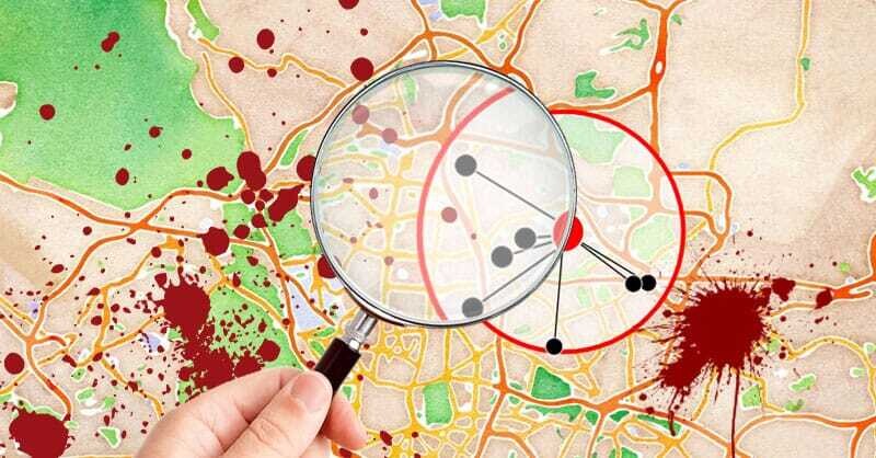
Criminalistics mapping is a discipline that combines Geographic Information Systems (GIS) and criminology to create detailed maps of crime. Although there isn't a single project titled 'Criminalistics Mapping,' the infrastructure for creating detailed maps (like those used for the 2019 World Youth Day) is available, and criminology applies spatial analysis, suggesting the need to unite these disciplines to map criminality.
The process begins with the study and evaluation of a crime scene. Scientists aim to scientifically reproduce the event, accurately identify evidence, and understand the spatial interactions of crimes. The next step involves developing thematic maps (points, choropleth, etc.) that help to understand the distribution and frequency of crimes, making this information understandable for both specialists and non-specialists, such as judges and juries.
These maps serve as a tool for strategic organization. They assist police in resource allocation, predicting future criminal acts, and creating more specific prevention strategies. The analysis of georeferenced data, which combines crime information with risk points like schools or tourist areas, provides valuable data for public policy and public safety decision-making.
In Panama, efforts are being made to integrate mapping and criminology. Notably, Bill 739 aims to establish a national strategy in criminology (currently under review for 2022), as well as the activities of the National Geographic Institute in thematic mapping for planning. Criminalistics mapping also acts as an effective method for presenting solid and reliable evidence in judicial proceedings.